Monitor Access
Site (SR 26)
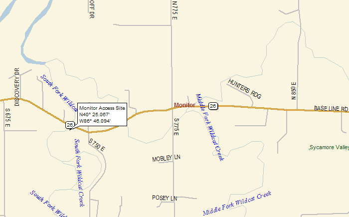
Location: The Monitor Access Site is
located at the State Road 26 bridge over Wildcat Creek,
about 3 miles east of I-65. Creek access is upstream (south)
of the State Road 26 bridge on the right (east) bank.
From Dayton, head north on CR 800 E (which turns into
CR 775 E); turn left and head west on State Road 26; the
access site is on the left.
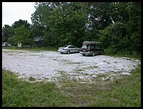
Parking: There is a gravel lot with
room for about 8 vehicles.
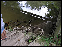
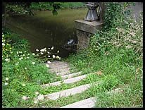
Path to River: There is an approximate
10 yard carry down steep steps to the river. It is pretty
easy access to the creek.
River Access: There is room to load
only a couple of boats at a time.
The Monitor Public Access Site is maintained by the Indiana
Department of Natural Resources.
river access |
path to the river |
parking area |
|