|
Distance: At 7 miles this section takes
about 3-5 hours to float.
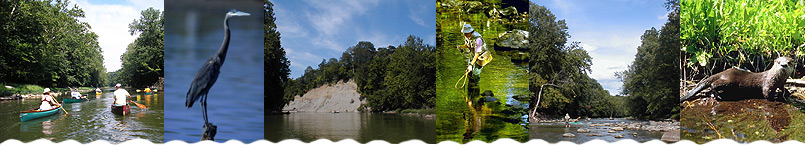
River Features: Wildcat Creek downstream
of the confluence of the North and South Forks changes
in character, and the creek's flow and width are nearly
doubled. Canoeists can expect to encounter sand and gravel
bars either exposed or forming riffle series. This stretch
has more development than other sections and is not quite
as natural as the rest of the creek, but it provides good
canoeing.
About 3/4 mile downstream of the put-in the creek passes
under the I-65 bridge. About 1.25 miles later you will
see a railroad bridge, and in less than half a mile you
will pass under the SR 25 bridge. In another 2.8 miles
Wildcat Creek joins the Wabash River and Davis Ferry is
just over a mile downstream of the confluence of the Wabash
River and Wildcat Creek. Access at Davis Ferry County
Park is on the left bank, upstream of the second bridge
the canoeist will encounter on the river.
Hazards: There are often large logjams
at the railroad bridge (before the SR 25 bridge).
|