Burlington
Access Site
Location: The State Road 29 bridge over
Wildcat Creek is a little north of Burlington. From SR
29 turn west onto the first road north of the creek, then
turn immediately left (south) onto the gravel road leading
to the access site parking lot. Creek access is downstream
(west) of the SR 29 bridge on the right (north) bank.
Parking: There is a gravel parking lot
with room for about 12 vehicles.
Path to River: The gravel path to the
river is about 150 yards, and includes one decent climb
up and over a hill.
River Access: It is a very steep bank
to the river, and you can probably only put in or take
out one boat at a time. However, there is plenty of room
for staging in the wooded area at the put-in.
The Burlington Access Site was created by the Indiana
Department of Natural Resources Division of Fish &
Wildlife, and it is adopted by the Wildcat
Guardians and the Wildcat
Creek Foundation.
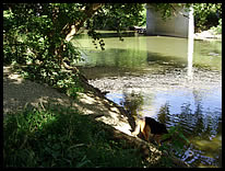
river access |
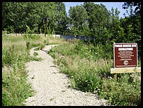
hill at start of path |
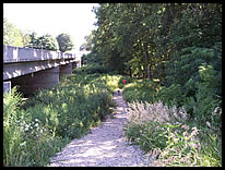
path to river |
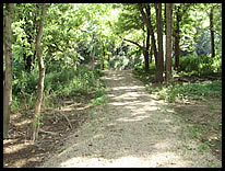
path to river |
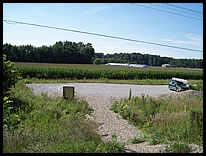
parking lot |

|