Davis
Ferry Access Site
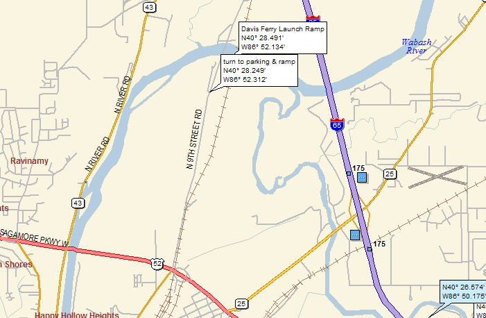
Location: River access is upstream of
Canal Street (9th Street) bridge on the left bank. There
is no sign for Davis Ferry, per se, but the Wabash Heritage
Trail is clearly marked and shares parking for the put-in.
From Peters Mill Landing, exit to the left; turn right
on Eisenhower Road, which crosses over I-65 and turns
into CR 350 E; in town, turn right on Greenbush Street;
turn right again on State Route 52 (Sagamore Parkway);
turn left on Duncan Road; turn sharp left on 9th Street
and follow it back out of town; before you reach the bridge
over the Wabash River, you will see a gravel road on the
left side; this is the entrance to Davis Ferry Park.
Parking: There is parking room on the
grass for many vehicles in the area by the Wabash Heritage
Trail sign. (There is also room to park vehicles at the
turnaround by the boat ramps, but that area tends to get
very muddy, and not all vehicles might be able to make
it back there.)
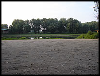
Path to River: From the grassy parking
area there is a 0.1 carry to the boat ramp on a rutted
dirt road that passes under the 9th Street bridge. It
is possible to drive down this road to the boat ramp,
but be aware that the area can get very muddy, making
it hard for some vehicles to make it all the way.
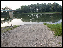
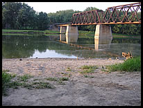
River Access: There is a huge turnaround
area by the 2 boat ramps for loading and unloading boats.
This area can get very muddy.
The Davis Ferry access point is actually on the Wabash
River just a little south of where Wildcat Creek joins
the Wabash. The access site is operated by the Tippecanoe
County Department of Parks and Recreation.

river access |

more river access |

path to the river |

|

